What is Water for Food?
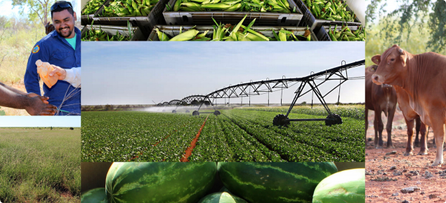
Water for Food identifies new water and land resources and irrigation technologies to enable development of new irrigation areas and increase the size and water efficiency of existing irrigation districts.
The Water for Food program extends from the Kimberley to the Great Southern.
DPIRD Land and Water Assessment's role in Water for Food
We are contributing to 6 Water for Food projects, ranging from the Bonaparte Plains, north of Kununurra, to the Southern Forests region on the south coast. We are conducting detailed assessments of agricultural land and water resources to support development on many of the Water for Food activity areas. On different sites, our role includes:
- assisting in designing and interpreting airborne geophysics
- conducting soil and water analyses
- assessing land capability of development areas
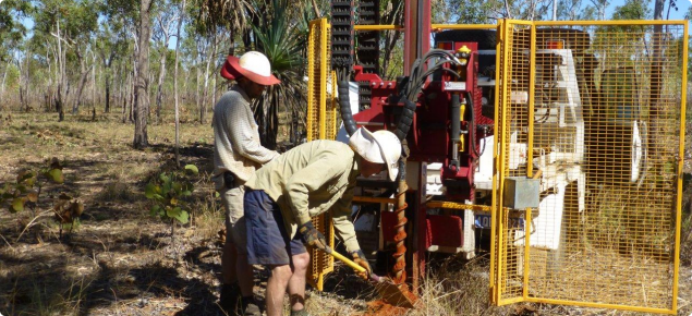
- designing and implementing groundwater investigations
- assessing agricultural options to develop identified areas
- liaising with agricultural industries and growers
- supporting government to develop expressions of interest for new developments.
DPIRD Land and Water Assessment's projects in Water for Food
We are contributing to the following Water for Food projects:
Bonaparte Plains
We are assessing land and water resources on up to 30 000 hectares of loamy sands in the East Kimberley for irrigated agriculture. We are making detailed agricultural land resource assessments to support decisions on developing the Bonaparte Plains. Assessments include airborne geophysics, soil and water analyses and related studies. We are also designing and supporting groundwater investigations to assess the aquifers and assess options to take suitable areas to the market.
Knowsley Agricultural Area
With partners at GHD, we are conducting a land capability assessment and agronomic study of dryland options in the Knowsley Agriculture Area: an area of unallocated Crown land near Derby. This area has potential for dryland and irrigated agriculture and is being investigated to identify water supply options and to prepare suitable land parcels within a 5000 hectare envelope.
La Grange – West Canning Basin
We are verifying – in the field – the preliminary land capability maps produced during the Pilbara Hinterland Agricultural Development Initiative (PHADI) project. The Water for Food work will assess a 90 000 hectare area for the most suitable soils for irrigation within the Shay Gap area of the West Canning Basin.
Midlands
We are conducting detailed soil and land capability, resource risk and crop suitability studies to identify one or more 2000–3000 hectare areas suitable for new irrigated agriculture between Gingin and Dongara. We are also preparing a comprehensive regional information package using the high quality agricultural land (HQAL) methodology developed by DAFWA.
Myalup–Wellington
We are investigating the land resources available at Myalup, identifying risks to the resources and exploring options to manage salinisation of the surficial aquifer in the Myalup irrigation area. We are also working with growers, private investors, local industry partners and CSIRO to develop options for water source development by testing options to import water from the Wellington Dam, local aquifers and surface water sources. This will support expansion of the Myalup Irrigated Agricultural Precinct, with long-term options for the Collie River Irrigation District and use of the Wellington Dam.
Southern Forests
We are completing an economic analysis to identify the most prospective horticultural industries for using an additional 12 gigalitres of water in the Warren–Donnelly catchments. We will review current and past irrigated industries in the area to determine the characteristics of a successful irrigated industry, and assess the profitability of industries that could expand into either export markets or replace imported products. The Southern Forests water futures project will identify new water supply options and systems to improve water use efficiency in the Warren-Donnelly catchments. The project will develop governance and financial models for management of a potential scheme.


