Report overview
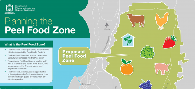
The Planning for the proposed Peel Food Zone Report was prepared by GHD in collaboration with the department, and assessed the feasibility of six agricultural land use scenarios in the Peel Food Zone investigation area including:
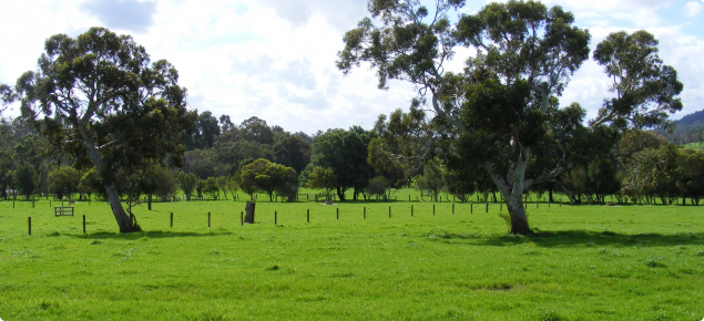
- Dryland pastures for grazing (current use)
- Irrigated annual horticulture such as leafy vegetables
- Irrigated perennial horticulture such as fruit trees and grape vines
- Covered irrigated horticulture such as strawberries in tunnel houses
- Closed-system horticulture including glasshouses with hydroponics
- Closed-system intensive animal production such as cattle feedlots, shedded poultry and piggeries.
The suitability of each agricultural land use scenario was analysed by GHD using environmental, social, infrastructure and physical data sets for the region. Spatial software was then used to generate a series of maps to show where each land use scenario was most suited.
The study found the eastern Peel Food Zone investigation area is suitable for a wide range of agriculture, however western areas are better suited to closed production such as hydroponics. Some land in the Peel Food Zone investigation area is constrained to such an extent that it is unsuitable for agricultural development.
Future agricultural activities within the area will be guided by the opportunities offered by the Peel's road, power and digital networks as well as its land capability and water availability.
Challenges presented by the environmental importance of the Peel-Harvey estuary and wetland systems and the need to separate intensive farming from sensitive urban and rural residential areas must also be considered. Transformation of agriculture in the Peel requires changes to established farming practices, alternative ways of managing soil and water and new or different types of farms and production systems.
A summary of the key findings from the report is presented here. The full report - available in Parts A, B, C and supporting appendices, including land suitability maps - is available to download on the right hand side of this page.
Availability of water for agricultural scenarios
The GHD investigations used simplified information and made assumptions about the availability for water for the different agricultural development scenarios.
The Department of Water and Environmental Regulation's Peel Integrated Water Initative implemented an extensive technical program which assessed the water opportunities and constraints related to the economic development objectives of the Transform Peel program.
The technical studies of water resources, including impact sof climate change, focussed on the Peel Food Zone investigation area. Findings from the Peel Integrated Water Initative studies were not released until after GHD's investigations.


