How to use this resource
The 'Land systems of the Kimberley region, Western Australia' (Technical bulletin 98) provides a comprehensive and standardised description of the landscapes, soils and vegetation of the Kimberley region of Western Australia. The information can be used to plan sustainable resource use.
Because of the size of maps and other information in the bulletin, the introduction, land systems, appendices and map are provided separately, and the complete bulletin (250 pages, 28MB) is also available for download 'Land systems of the Kimberley region, Western Australia', Technical bulletin 98.
Survey area
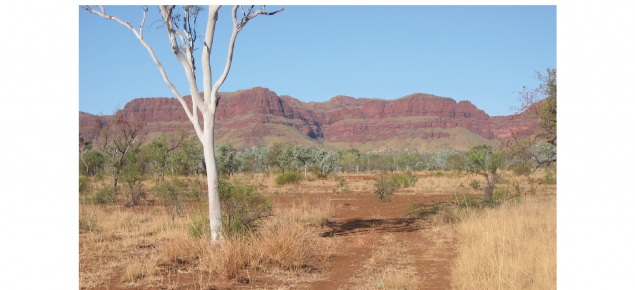
The Kimberley region is a vast, spectacular and largely undeveloped area. It contains a great diversity of landscapes, soils and vegetation, and is blessed with many major river systems fed by the summer wet season.
The Kimberley region, as defined in this bulletin, covers 330,070 square kilometres (km²).
Survey summary
Across the Kimberley, 111 land systems have been mapped. The 3 largest land systems are:
- Buldiva land system (45,841km²), characterised by rugged sandstone country with open forest vegetation on sandy soils with rock outcrops – found in the North Kimberley
- Yeeda land system (21,308km²), characterised by sandplain, deep red and yellow sands, pindan and tall woodlands – found in the West Kimberley
- Camelgooda land system (17,826km²), characterised by extensive dunefields, pindan and other low woodlands – found in the West Kimberley.


