How to use this survey
This survey can help pastoral industry managers to plan and manage for sustainable use of pastoral natural resources, and protect degraded areas or areas at risk of degradation.
This survey:
- identified and described the condition of soils, landforms, vegetation, habitat, ecosystems, and declared plants and animals
- assessed the impact of pastoralism
- recommended land management, including recommended carrying capacities, for each pastoral lease.
Survey area and inventory summary
The Murchison River Catchment was surveyed between 1985 and 1988 by PJ Curry, AL Payne, KA Leighton, P Hennig and DA Blood. The department published the survey in 1994 as Technical bulletin 84 'An inventory and condition survey of the Murchison River Catchment, Western Australia'.
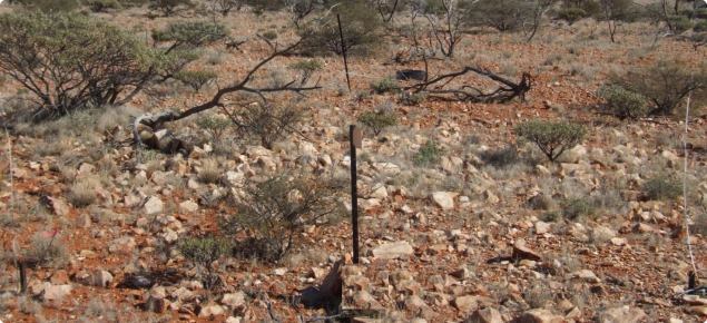
The area surveyed by field work during 1985–88 covered about 88,360 square kilometres of arid zone rangelands situated between Mount Magnet and Meekatharra in the east, and the catchments of the Greenough and Wooramel rivers in the west.
The survey area included most of the catchment of the Murchison River and its tributaries – the Sandford, Roderick and Yalgar rivers – and most of the catchment of Lake Austin.
The flora of the area was diverse, with about 830 recorded vascular species, of which 97% were native and about 4.5% were endemic or near-endemic.
Vegetation was objectively classified and described as 23 major types. All but three of these were shrublands or low woodlands, of which most were naturally lacking in grasses. Mulga (Acacia aneura) and cotton bush (Ptilotus obovatus) were ubiquitous perennials.
Condition summary
The survey report provides condition statements – for the time of the survey – for the whole survey area and for each land system. Pasture condition and soil condition were assessed at points throughout the survey area.
The survey found that:
- 21% of points surveyed were in good to very good rangeland condition
- 37% were in fair rangeland condition
- 42% were in poor to very poor rangeland condition.
Overall, the report data indicates that vegetation condition in this survey area was poorer than other rangeland areas in Western Australia.


