How to use this survey
This survey can help pastoral industry managers to plan and manage for sustainable use of pastoral natural resources, and protect degraded areas or areas at risk of degradation.
This survey:
- identified and described the condition of soils, landforms, vegetation, habitat, ecosystems, and declared plants and animals
- assessed the impact of pastoralism
- recommended land management, including recommended carrying capacities, for each pastoral lease.
Survey area and inventory summary
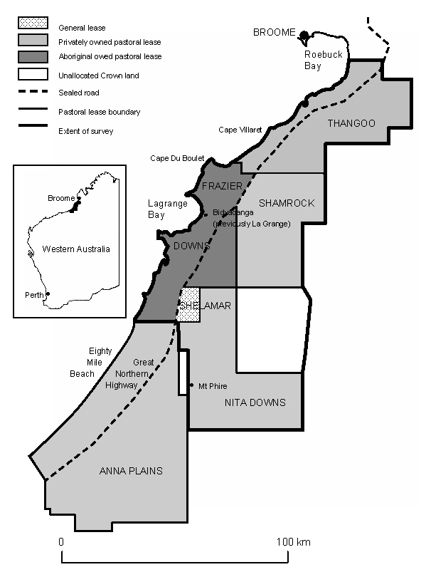
Part of the Broome Shire was surveyed by WE Cotching between 1989 and 1990. It was published as Technical bulletin 93 An inventory of rangelands in part of the Broome Shire, Western Australia.
The survey covered about 8664 square kilometres of pastoral land in the Canning Basin region (Figure 1), adjacent to the west coast of the Broome Shire, which is in the south-west of the Kimberley region of Western Australia.

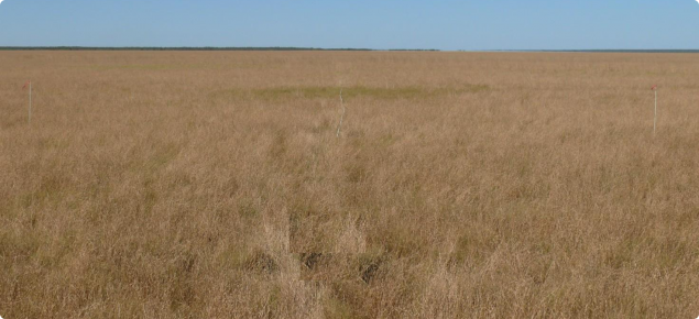
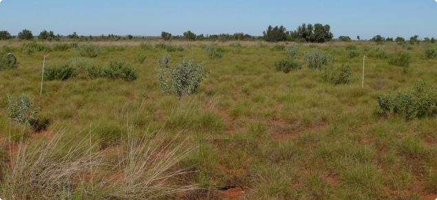
The survey area was dominated by extensive sandplains and dune fields which border the northern edge of the Great Sandy Desert. A smaller area of coastal plain occurred on the western edge of the survey area. Soils on the sandplain and dune fields were predominantly deep red sands and loamy sands. Coastal plain soils were light grey silty clays.
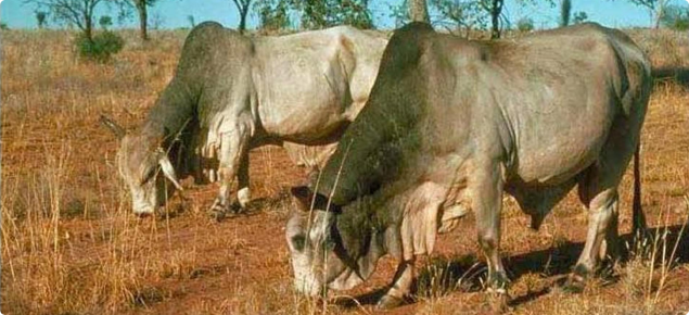
Pastures were dominated by spinifex communities on the sandplain with halophytic species dominating pastures on the coastal plain. There were no permanent watercourses in the area, although there were several springs on the inland margin of the coastal plain. Livestock were almost entirely dependent on man-made watering points.
Condition summary
The survey report includes condition statements – for the time of the survey – for the whole survey area and for each land system. Pasture and soil condition was assessed for 1128 points throughout the survey area during 1989 and 1990.
The survey found that:
- 63% of these points were in good rangeland condition
- 21% were in fair rangeland condition
- 16% were in poor rangeland condition.


