Why investigate Cockatoo Sands?
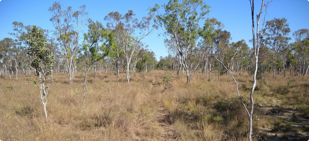
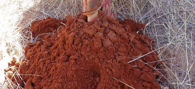
Cockatoo Sands are recognised as potentially suitable for irrigated agriculture because they are generally well drained and not subject to waterlogging and inundation. These characteristics allow them to be cultivated and prepared for planting various crops during the wet and dry seasons of northern Australia. 'Cockatoo Sands' is a term used to include red to yellowish red sands, sandy earths and loamy earths that have formed from quartz sandstone colluviums, in relatively isolated patches throughout the East Kimberley.
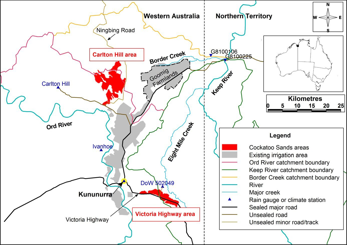
Expanding agricultural production onto Cockatoo Sands in the Victoria Highway (2300ha) and Carlton Hill (6510ha) areas near Kununurra will increase opportunities for agriculture by increasing the overall scale of agriculture, and allow year-round agricultural enterprise and new crops and market opportunities.

What are the surface water characteristics?
In accordance with ANZECC and ARMCANZ (2000) protocols, the baseline surface water characteristics of run-off from two surface water catchments and one small groundwater-fed stream in the catchments that contain these soils were monitored and assessed in 2011–14. The results are described in 'Cockatoo Sands in the Victoria Highway and Carlton Hill areas, East Kimberley: baseline surface water quality' (PDF 7.8MB).
The creek systems are highly dynamic and rapidly respond to prevailing rainfall conditions. Even though current land use in the catchment is predominantly low intensity cattle grazing, the baseline analysis indicates that the creek systems are most appropriately classified as ‘moderately disturbed’ rather than being ‘high conservation/ecological value’ systems, as might be expected given the current land use.
Many of the baseline physicochemical parameter levels exceed the expected levels for high conservation/ecological value systems recommended by ANZECC & ARMCANZ (2000). In particular, the revised classification is based on the high nutrient concentrations in discharge and the high concentrations of some heavy metals.
Based on their inherent physical attributes and their relatively small size, agriculturally suitable Cockatoo Sands areas probably contribute only a small proportion of the run-off in their catchments and so have a small physicochemical ‘footprint’ in terms of the surface water quality parameters reported. If they are developed for irrigated agriculture, their relative contribution will likely increase, although not to the same extent as for the flood-irrigated developments in the area. Suitable Cockatoo Sands areas comprise a small proportion (0.01–0.11%) of the catchments that contribute run-off to the important receiving aquatic environments of the lower Ord and Keep rivers.
If environmental compliance monitoring is required in the future, local trigger values can be derived from these baseline results, together with results reported by Bennett and George (2014) for the Border Creek Catchment in 'Goomig Farmlands development: baseline water quality in the lower Keep River'.
Additional information
Information about the soil characteristics and land capability can be found on Cockatoo Sands in the Victoria Highway and Carlton Hill areas, East Kimberley: land capability assessment.
Baseline and other characteristics of the groundwater systems are described in 'Cockatoo Sands in the Victoria Highway and Carlton Hill areas, East Kimberley: hydrogeology, aquifer properties and groundwater chemistry' (PDF 14.7MB).
Australian and New Zealand Environment and Conservation Council & Agriculture and Resource Management Council of Australia and New Zealand 2000, Australian and New Zealand guidelines for fresh and marine water quality. Volume 1, The guidelines, Australian and New Zealand Environment and Conservation Council and Agriculture and Resource Management Council of Australia and New Zealand, Canberra.


