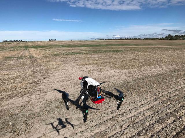
Drones sharpen focus on research data

The use of drone imagery is enhancing grains research in Western Australia, providing unique close-up aerial observations of crop growth and performance to aid field trial evaluations.
The Department of Primary Industries and Regional Development has been using drones fitted with both high-tech and multi-spectral cameras over the past two seasons in grainbelt trials.
Research officer Glenn McDonald first used the drones in 2017 in a soil water repellence agronomy trial at Kojonup to measure ground cover to determine the level of crop establishment.
The drones proved to be a useful tool to obtain reliable measurements on responses to treatments across the field plots.
Plant emergence can be delayed by up to four months in water repellent soils, resulting in widespread crop variability, which can be difficult and time consuming to monitor across a plot without causing plant damage.
Drones were flown every three weeks, targeting areas where different treatments had been applied.
The regular collection of high resolution drone imagery data was particularly valuable in observing plant changes in response to treatments, environmental stresses and plant health, as well as collecting information on flowering density.
While the use of drones in grains research is still in its infancy, Mr McDonald said the equipment would provide greater confidence in the accuracy and integrity of research data when used alongside traditional scientific assessments.
The data collected by drone imagery helps to give us a better understanding of crop establishment and crop vigour responses to various soil water repellence treatments. This information complemented the physical measurements and observations made during the season to strengthen the trial results and conclusions.
The drones have been used during the 2018 season to collect targeted data on treatment responses at more than eight soil research trials across the Great Southern.
The department continues to explore the use of drones to improve research and efficiencies across the organisation.
