Weather data strengthened across wheatbelt
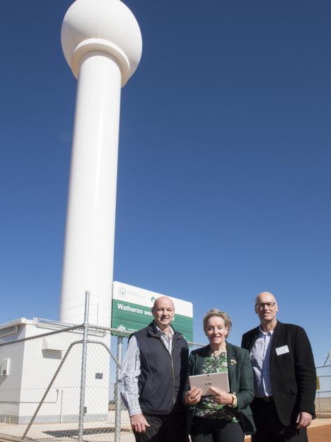
Wheatbelt growers and industry representatives were joined by Agriculture and Food Minister Alannah MacTiernan for the official opening of the Doppler weather radar site at Watheroo, north-east of Moora.
The State Government’s investment in the suite of Doppler radar towers (Newdegate, South Doodlakine and Watheroo) to improve regional weather information, complement the Bureau of Meteorology's (BoM) radar network to provide farmers and regional residents localised, real-time rainfall and wind events.
Technology is integral to ensuring Western Australia’s agricultural sector remains internationally competitive and Doppler radars will help to increase agricultural productivity and better enable farm business decision making.
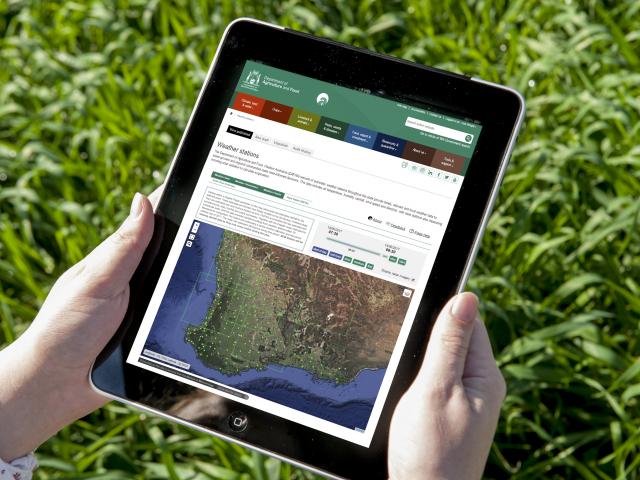
Combining Doppler radar data with data from the department's network of more than 175 weather stations (129 across the grainbelt) provides vital information to boost the performance of farm business operations.
Using the data generated by the radars, farm businesses will be able to save time and money to support farm management decisions such as time of sowing and fertiliser and chemical applications.
Real-time rainfall and wind information from the Doppler radars are updated every six minutes on the department and BoM websites. This data can be 'pin-pointed' to a one-kilometre resolution, giving farmers a 'paddock perspective' of real-time and estimated accumulated rainfall.

Data from the newly installed radars will feed into online decision support tools (eg. Soil water tool, Rainfall to date) to support growers to make more informed decisions throughout the season to maximise opportunities and minimise risks.
To complement this expanded weather radar coverage across the grainbelt, existing BoM weather radars at Geraldton, Esperance and Albany are all being upgraded to Doppler capability.
The State Government is funding Geraldton and Albany based radars, and Esperance will be funded by the Bureau. The upgrade of these coastal weather radars are planned for completion by April 2019.
Once the coastal radar upgrade is complete the Western Australian wheatbelt will have the most comprehensive weather network in the southern hemisphere.
To access more precise weather information, visit the Department weather site and click on the ‘Rain radar’ tab.

